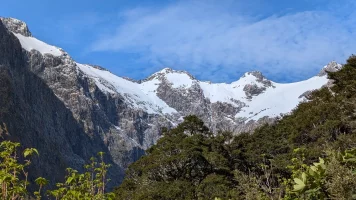
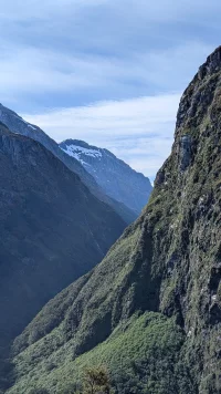
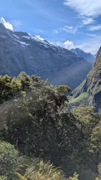
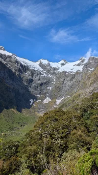
• Remove ads on the forum by becoming a donating member. More here.

Search 74,075 Camino Questions

Where do ( did ) you walk locally in 2024?

Wonderful story (article?) @DoughnutANZ. As for the Milford Track being the "finest walk in the world" I haven't seen enough others to call that true but it is the finest backpacking trip Peg was ever on. I have trouble rating things but it certainly is at the top (but we had good weather, not the usual). BTW, we walked almost exactly eight years ago.

The land to the west of the lake was considered too steep to be of any value and so was left in it's natural state. This land now forms Fiordland National Park at over 1.2 million hectares. This park is the largest in Aotearoa New Zealand and comprises around 5% of ANZ's total land area and is one of the largest national parks in the world. As an example of it's size, the two largest national parks in the USA, together, easily fit within it's boundaries.
I think you are forgetting that Alaska is part of the US and has national parks. Even the state owned Adirondack Park in northern New York state is twice as large as Fiordland National Park. 😝
 
Fail to prepare? reduce your risk by buying this book full of practical info.
2nd ed.
Day 1 Milford Track

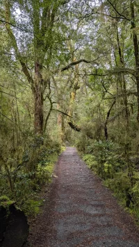
PXL_20241120_225226588.MP.webp
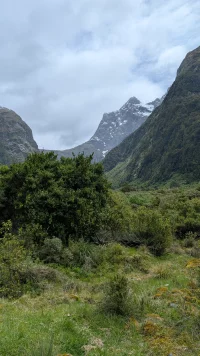
This looks simple!

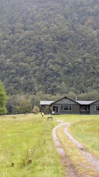
PXL_20241120_230015432.MP.webp
The first "lodge", used by guided walkers who get pampered, fed, coddled and if necessary, helicoptered out. Not for the likes of me.

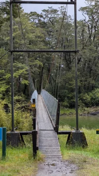
PXL_20241120_230834528.MP.webp
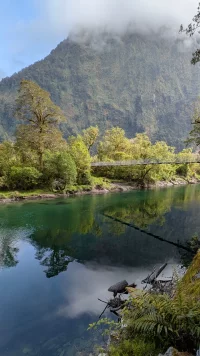
The first of numerous suspension bridges.

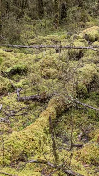
PXL_20241120_234439007.MP.webp
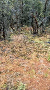
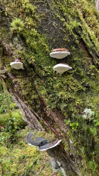
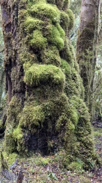
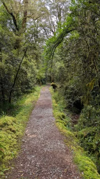
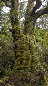
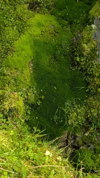
Signs that we are in a rain forest with lots of mosses and lichens

PXL_20241120_234626721.MP.webp
PXL_20241120_234846236.MP.webp
PXL_20241120_235747542.MP.webp
PXL_20241120_235927268.MP.webp

PXL_20241120_234742248.MP.webp
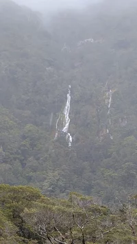
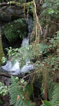
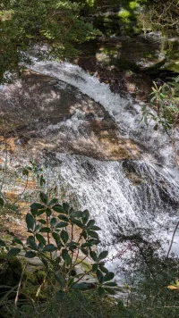
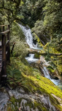
It is raining lightly and the numerous waterfalls start appearing.
PXL_20241121_030731849.MP.webp
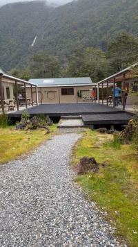
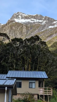
Our hut for the first night, recently rebuilt because the last one was mostly destroyed in a storm. The kitchen has gas hobs, the showers are cold water and the toilet is a long drop.
 
Fail to prepare? reduce your risk by buying this book full of practical info.
2nd ed.
Day 2 Milford track
PXL_20241121_193154517.MP.webp
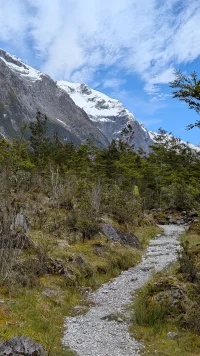
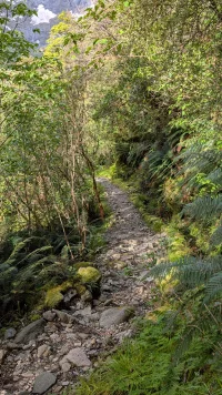
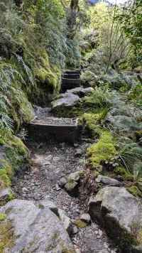
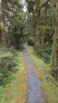
The track is still reasonable although much narrower and with deep drains either side of the track to handle the heavy rain. It is hard to see but the track is angling upwards as we start to climb.
PXL_20241121_193201812.MP.webp
Mosses and lichens are still prevalent as we gradually gain altitude.
PXL_20241121_193912826.MP.webp
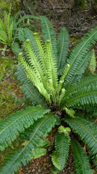
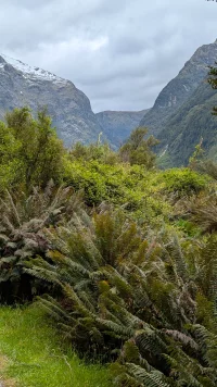
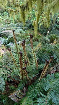
Crown ferns are only found in this part of ANZ
PXL_20241121_194619494.MP.webp
PXL_20241121_195324617.LONG_EXPOSURE-01.COVER.webp
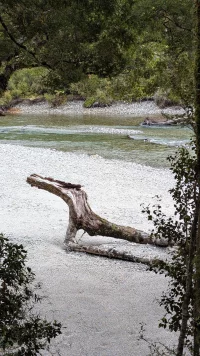
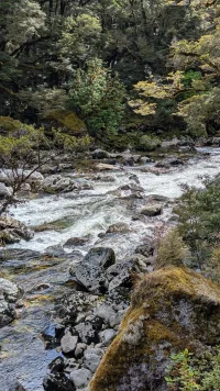
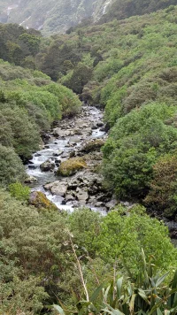
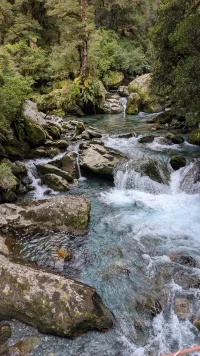
The trail follows the river at this stage.
.PXL_20241121_195150263.MP.webp
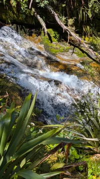
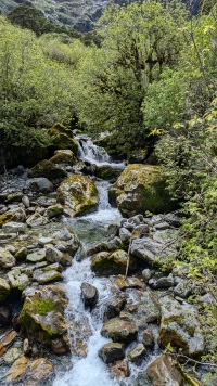
Everywhere there are smaller streams and tributaries that feed into the river.
PXL_20241121_201219797.MP.webp
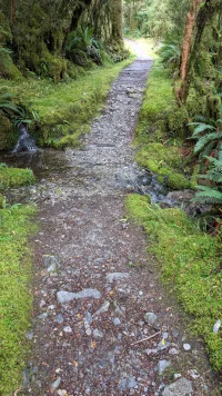
Sometimes the tributaries cross the trail
PXL_20241121_202640910.MP.webp
And at other times the tributaries are the trail!
PXL_20241121_205507663.MP.webp
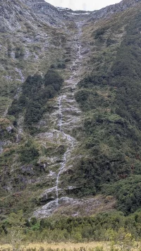
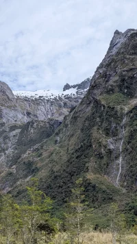
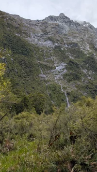
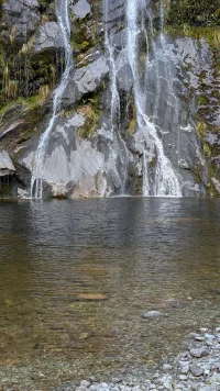
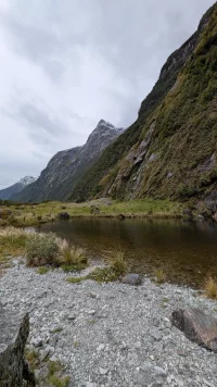
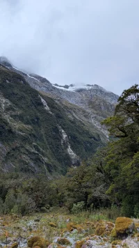
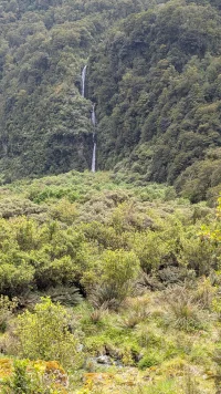
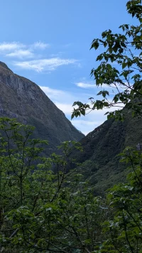
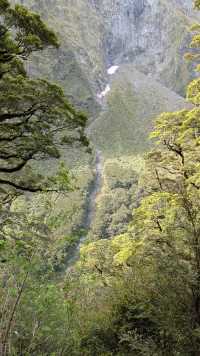
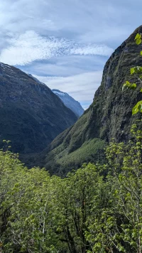
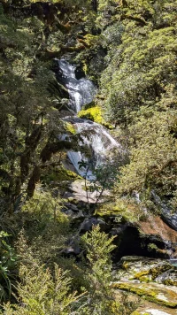
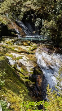
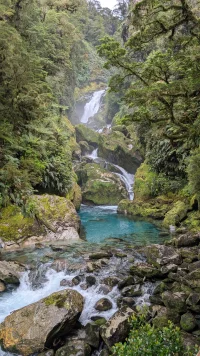
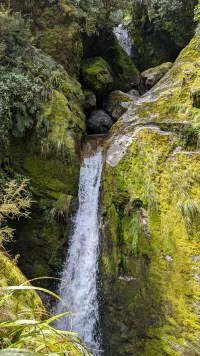
The steep sided valley, carved by the glacier narrows and spectacular waterfalls are ever present.
PXL_20241121_205530726.MP.webp
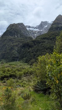
The pass lies ahead.
 
Day 2 Milford Track
PXL_20241121_205614857.MP.webp
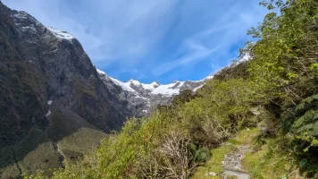
The path has become steeper and less well formed. The mountains are close.
PXL_20241121_210951805.MP.webp
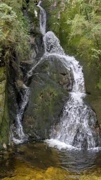
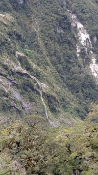
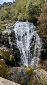
Waterfalls abound
PXL_20241121_213447651.MP.webp
Some close and others further away
PXL_20241121_220406086.MP.webp
The Beech forest have given way to smaller shrubs and ferns as we gain altitude.
PXL_20241121_215750309.MP.webp
PXL_20241121_220451397.MP.webp
PXL_20241121_220514700.MP.webp
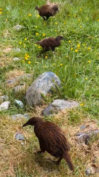
Time for a lunch stop with some Wekas
PXL_20241121_223255832.MP_exported_266.webp
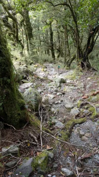
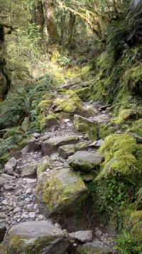
Then it is back on the trail which is now much more technical
PXL_20241121_225925892.MP.webp
Yes, this is the trail. Just ahead of me is a very nice French Canadian hiker from Quebec
PXL_20241121_230031156.MP.webp
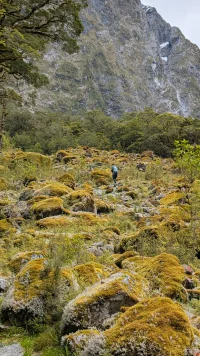
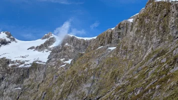
This area is obstructed with large debris from an avalanche that happened some time ago.
 
The one from Galicia (the round) and the one from Castilla & Leon. Individually numbered and made by the same people that make the ones you see on your walk.
Day 2 Milford Track
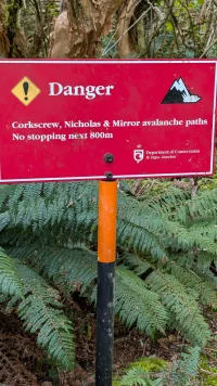
Avalanches are a danger at this time of year (late Spring in ANZ) and there are warning signs like this all along the trail.
PXL_20241122_001154235.MP.webp
PXL_20241121_232728771.MP.webp
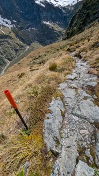
The trail is much steeper now and there are occasional ice patches on the side of the trail in shady areas
PXL_20241121_230418735.MP.webp
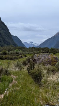
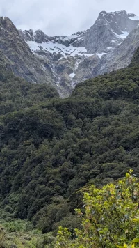
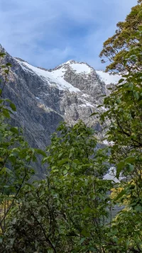
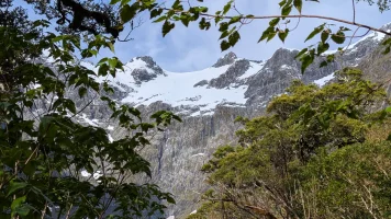
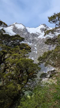
The mountains are close and dominate every view
PXL_20241121_230433068.MP.webp
PXL_20241121_234443675.MP.webp
PXL_20241121_234451181.MP.webp
PXL_20241121_234458658.MP.webp
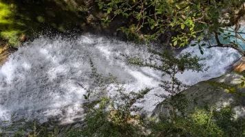
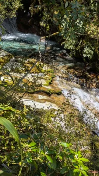
Although water and waterfalls are ever present
PXL_20241122_002824180.MP.webp
PXL_20241121_234434301.MP.webp
 
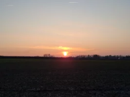
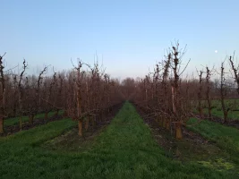
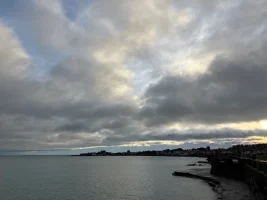
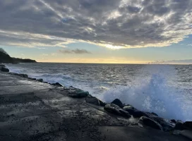
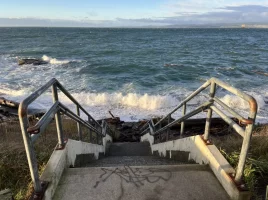
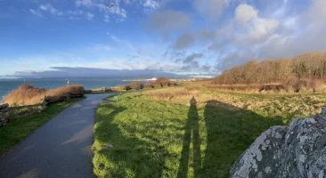
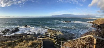
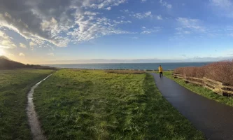
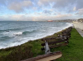
Yet another walk along by Dunlaoghaire towards Dalkey. A trifle cold...and interesting: the little video was to catch the sound of the sea,
Arrh. the tranquility of that spot and I like the music too. I would love to be there to share a walk in this area with you. Ireland has so many beautiful areas.
 
Get a spanish phone number with Airalo. eSim, so no physical SIM card. Easy to use app to add more funds if needed.
Fail to prepare? reduce your risk by buying this book full of practical info.
2nd ed.
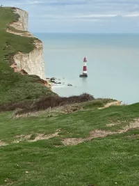
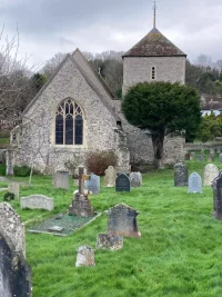
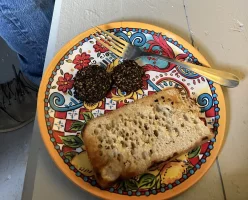
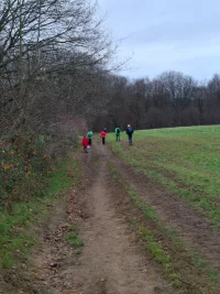
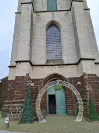
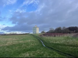
Trying out a fully loaded 35L rucksack to see if I need to take anything out. Seemed to be OK but I might feel differently tomorrow. Walked through farmland and past old churches (11th Century) down to the coast [at Birling Gap]. There were more tourists than locals. I thought they were mainly Chinese but it turns out they would likely be Korean as the image of the view is a popular screen saver there.

[Edited for @OzAnnie]

Chalk cliffs.webp
St Simons.webp
 
Last edited:
Arrh. the tranquility of that spot and I like the music too. I would love to be there to share a walk in this area with you. Ireland has so many beautiful areas.
Your reply makes me think of a cartoon I saw in the 70s. I just found a version of it. Each cow, thinking the next field yields sweeter grass! I think every country has beauty…
1734201686627.webp
 
3rd Edition. Vital content training & pack guides avoid common mistakes, bed bugs etc
So true - having been there ., it was the memories that your pic evoked … I needed to voice my appreciation.
I agree… even our suburban local walks have their own particular gems to enjoy.
Ps - just to make you smile Kirkie …. My way of saying the long Irish words above are ‘ Dunleery and Dorkey’. Probably not right but as good as this ear can hear.
 
Day 3 Milford Track - the hardest day
PXL_20241122_182211406.MP.webp
Looking back at last night's hut as I leave in the morning.
PXL_20241122_191014457.MP.webp
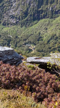
We are reasonably high up but there are still patches of rainforest.
PXL_20241122_191754626.MP.webp
Looking towards the pass that we climb through today.
PXL_20241122_193724850.MP.webp
PXL_20241122_194204596.MP.webp
PXL_20241122_194234721.MP.webp
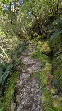
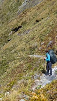
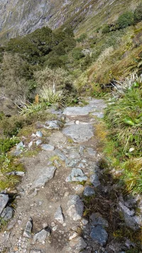
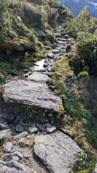
The track is now significantly steeper and much less well formed.
PXL_20241122_194248263.MP.webp
PXL_20241122_194630611.MP.webp
PXL_20241122_195031819.MP.webp
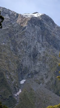
Each side of the valley is now close, very steep and showing evidence of prior avalanches and slips.
PXL_20241122_195046918.MP.webp
 
Get a spanish phone number with Airalo. eSim, so no physical SIM card. Easy to use app to add more funds if needed.
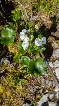
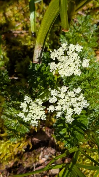
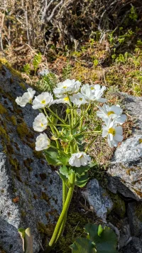
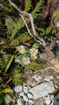
Milford Track Day 3 - Mountain flowers

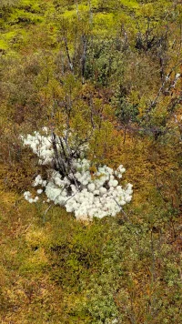
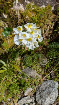
A side point, most ANZ mountain flowers are mainly white coloured because there a very few bees in the mountains and so pollination is mostly done by other insects and birds.

PXL_20241122_202634274.MP.webp
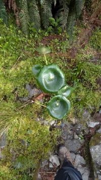
An orchid, I think

PXL_20241122_203029776.MP.webp
Not sure about these flowers

PXL_20241122_203420857.MP.webp
PXL_20241122_203710990.MP.webp
Mountain Daisies
PXL_20241122_204437160.MP.webp
PXL_20241122_211646771.MP.webp

That very nice French Canadian hiker again
PXL_20241122_211456371.MP.webp

PXL_20241122_204634674.MP.webp
Flowers along the trail and the trail itself
PXL_20241122_204626425.MP.webp
PXL_20241122_204622208.MP.webp
 
The 2024 Camino guides will be coming out little by little. Here is a collection of the ones that are out so far.
Get a spanish phone number with Airalo. eSim, so no physical SIM card. Easy to use app to add more funds if needed.
Milford Track Day 3 - More tops

PXL_20241122_212213764.MP.webp
PXL_20241122_212701347.MP-EFFECTS.webp
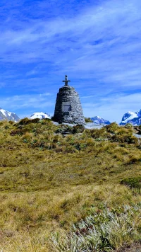
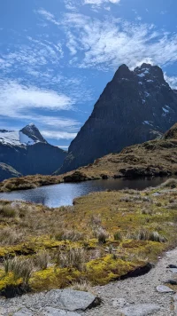
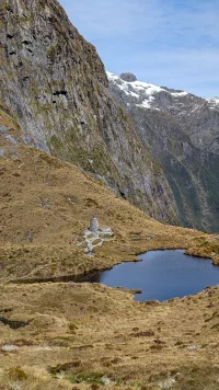
The McKinnon memorial, if you zoom in and look closely you will see a Kea posing on top of the cross. It obligingly stayed until I took the photo then flew away.

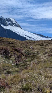
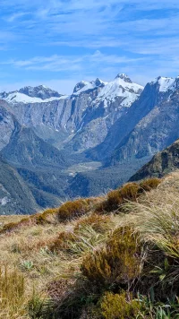
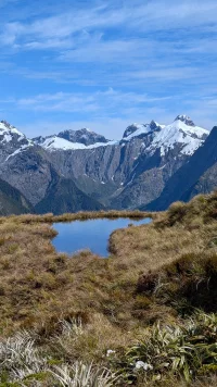
We were incredibly lucky to have such a beautiful day with no low cloud, rain or wind, a rare occurrence at this place.
PXL_20241122_212807896.MP.webp
View attachment PXL_20241122_212814796.mp4
This video includes one of the guides waiting for the first of the guided walkers to point out landmarks and help with lunch 😂. He graciously gave permission to include his image.

PXL_20241122_214032552.MP.webp
PXL_20241122_213823364.MP.webp
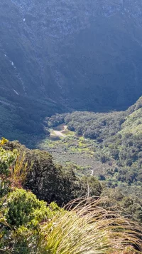
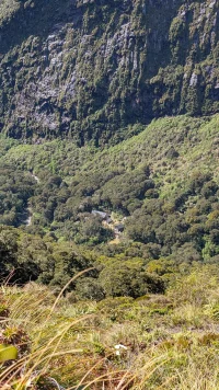
The saddle with the memorial isn't the highest point, looking back down on the memorial and the guide.

PXL_20241122_213615479.MP.webp
I could have stayed here for ever just soaking in this magnificent vista
 
Looks like good training Doug. Do they require hikers to pass a fitness test before being granted the ok to walk the track ?
The short answer is no, there is no fitness test.

There is an excellent incentive to be fit enough to complete the track though. If you are simply not fit enough or too tired to walk then your only other choice is to charter a helicopter to come pick you up.

Helicopter charters in ANZ cost around NZ$1600 per hour and as they tend not to park helicopters along the track you would need to pay for the time to prepare the helicopter and for it to fly in, pick you up somewhere flat (not many of these spots) and fly out again. Probably a minimum of two hours and more likely three hours.

It would probably be better to fall and injure yourself so that you are unable to walk because then ANZ's unusual accident insurance scheme would kick in and they would pay for the medical evacuation. We have a universal accident insurance scheme (called ACC) that automatically covers every person in ANZ including tourists (and which I pay for in my taxes).

Apparently one of the guided hikers fell on the last day of my hike and was injured and helicoptered out. I didn't see the incident but while I was waiting for the boat pickup at the end of the trail some of my fellow independent hikers who arrived after me had seen the incident. The man fell on a difficult strip that is similar in some ways to the ridges in the rock on the descent from Roncesvalles to Zubiri.

There was one (Kiwi) woman of a similar age to me (impolite to ask) who was walking with her son. She was short but a reasonably experienced hiker. She laughingly told me that her son (big, tall DoC Ranger) was there to carry the heavy stuff for her and offered his services to me on a couple of occasions when we met on the trail and I was probably looking a bit exhausted 😂

The next oldest were two other Kiwi women in their 60's who were also reasonably experienced trampers but who were unfit. On the longest day (3rd day) it took me 9 hours hut to hut and I struggled at the end. The two women in their 60's hadn't turned up after 11 hours and we were starting to get a bit worried about them when they finally walked into the hut.

If someone wants to do this tramp but isn't sure if they can do it then I would suggest either doing a shakedown hike like the Abel Tasman coastal track first because it is slightly easier but more importantly has good coastal access by boat along the whole track and so if you need to bail out then it is simple and cheap to do so.

Alternatively, book yourself in for the guided walk because these hikers get an additional day to walk and so the distance covered each day is shorter and (importantly) all your food is taken care of for you and so you don't need to carry it which makes your pack much lighter and you can even get an upgrade to use their bedding, saving additional weight and you can even get your main pack transported for you at a cost. The cheapest guided option costs around NZ$2500 (bunk room) and the most luxurious around NZ$6800 each (double room with single supplement if only one person).

I did the Abel Tasman coastal track on my way south and this not only helped me sort my gear and get rid of a couple of extra kilos of unnecessary gear but also helped my overall trail fitness.

I probably should add that it is quite difficult to get a spot as an independent hiker on the Milford track. Only 40 people are permitted to hike each day and you need a reserved slot.

This year, the day that reservations opened it was completely booked out within 45 minutes. Initially I missed out and I just happened to be looking at the website about a month later when someone cancelled their slot and it suddenly became available and so I grabbed it immediately. Talking to some of the other hikers it seems like they had a similar experience and so if you don't get a slot on opening day then keep browsing the website from time to time and something may well open up for you.
 
Last edited:
A selection of Camino Jewellery
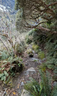
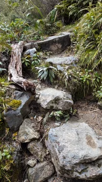
Milford Track - Day 3 & 4 track conditions

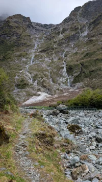
Day 3 descent

The track was a bit rough as I started my descent but not too bad.
Day3DescentPXL_20241122_224030474.MP.webp
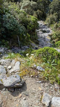
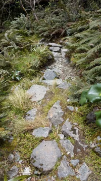
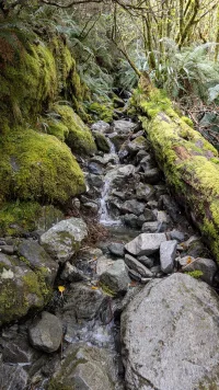
Then after only about 10 minutes on this track I came to a track closed sign with a diversion onto a temporary track as the usual track wanders underneath a high risk avalanche area. The main track is only diverted during Winter and Spring and so very little work has been put into developing and maintaining the temporary diversion and it is significantly rougher.
Day3DescentPXL_20241122_232200528.MP~2.webp Day3DescentPXL_20241122_232844164.NIGHT.webp Day3DescentPXL_20241122_234132135.MP.webp Day3DescentPXL_20241122_234722658.MP.webp Day3DescentPXL_20241123_000453545.MP.webp
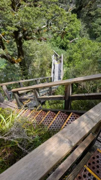
Until it re-joins the main track. Just after it re-joins the main track has very steep stairs and a boardwalk to help navigate a stream and waterfall.
Day3DescentPXL_20241123_002100138.MP.webp
By this time I was starting to get fatigued and so there were no more trail photos that day.

Day 4 trail photos

On day 4 I was rushing to make the early pickup and so, again, there are not many trail photos. This next one was taken in the morning as I left the hut.
Day4DescentPXL_20241123_192032903.MP.webp
Then yet another suspension bridge
Day4DescentPXL_20241123_203127659.MP.webp
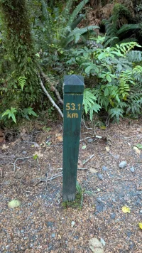
It is not the Camino but the do have distance markers every mile but I have lost my familiarity with miles and so my photo shows the Kilometre side and the post was 0.4 kilometres from the end.
Day4DescentPXL_20241124_000058152.MP.webp
 
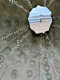
I thought [the tourists] were mainly Chinese but it turns out they would likely be Korean as the image of the view [of the lighthouse?] is a popular screen saver there
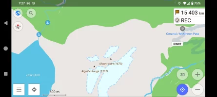
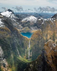
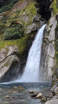
Coincidentally @DoughnutANZ was just a short walk away from another popular screensaver location. Lake Quill, shown as a Microsoft lock screen, is 3 km from Mackinnon Pass on the Milford Track, both seen on the map. I've included a view of Lake Quill from the other direction. It's there at the top of Sutherland Falls, one of the world's tallest waterfalls. There is a side trail from the Milford Track that goes to the base of the falls.

Screenshot_20241215-192419.webp

Screenshot_20241215-192711.webp

Milford Sound.webp

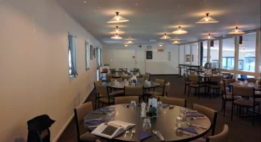
And I took a picture of the dining area in one of the expensive "huts".
Screenshot_20241215-200956.webp
 
Last edited:
Get a spanish phone number with Airalo. eSim, so no physical SIM card. Easy to use app to add more funds if needed.
A selection of Camino Jewellery

❓How to ask a question

How to post a new question on the Camino Forum.

Most read last week in this forum

Let me start off by saying that I have done 10 Caminos. This is not to brag but to say that I should have known better. Before my last one, my grandkids convinced me that I should document the...
I'm sure a lot of us pour over our Camino photos from time to time as they bring back such wonderful memories. Not just of that great view or amazing meal, but some may have a much greater meaning...
I've always wondered about the security bars you frequently see on the windows of homes in Spain. The obvious purpose is security, but they are so ubiquitous, including on the windows of houses in...
Among the many, many things I was ignorant of is the Jubilee Camino. Coming home from London yesterday, while scanning the departure boards at the station, I had a chance meeting with a fellow...
I got back from my first Camino earlier this year in September. I loved it, found a lot of joy and strength from the experience. But I didn't really think that I would do it again. It was a...
There seems to be a sense that the number of pilgrims walking in Spain will continue to increase every year, putting more and more pressure on the infrastructure and impacting on all the things...

Featured threads

❓How to ask a question

How to post a new question on the Camino Forum.

Forum Rules

Forum Rules

Camino Updates on YouTube

Camino Conversations

Most downloaded Resources

Featured threads

This site is run by Ivar at

in Santiago de Compostela.
This site participates in the Amazon Affiliate program, designed to provide a means for Ivar to earn fees by linking to Amazon
Official Camino Passport (Credential) | 2024 Camino Guides
Back
Top