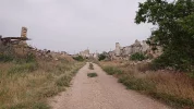
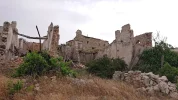
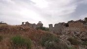
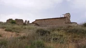
Right. Looks like everybody is going to Sigüenza.
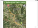
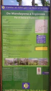
Day 22. Mandayona - Sigüenza. 25.5 km
@alansykes didn't go to Mandayona,
he turned right at Mirabueno, and stopped at Aragosa. This only adds one km to the walk from Cifuentes. He stayed at the
Casa Rural Rio Dulce, which he liked
very much. From Aragosa to Sigüenza, it is about 21 km.
@Magwood walked from Mandayona to Sigüenza, 25.5 km. So did
@Undermanager , who recorded 28 km for the day.
@Bad Pilgrim also walked from Mandayona to Sigüenza.
I think the consensus is that it is a beautiful walk. I'll make my task easy by quoting from the veterans:
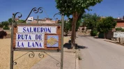
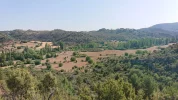
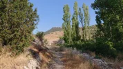
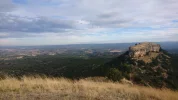
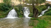
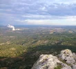
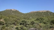
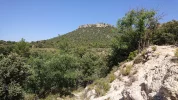
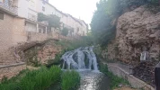
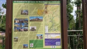
Then you follow the Dulce up its canyon, with occasional waterfalls, and at one point I counted over a dozen vultures overhead - a kettle of vultures. The Lana and the Camino del Cid are together here, and at Pelegrina they are joined by the Ruta de Don Quijote. Then out of the valley and up over scrubland to Sigüenza with its dominating castle and lovely cathedral and several Romanesque churches and winding old hillside streets, all for a population of 4500.
I loved the vultures here. So many, soaring and riding the thermals against the moon and some perching and posing for classic vulture shots. It's the one time I regret not having my superzoom camera! The gorge is very gorge-like, with big cliffs, lots of different flowers and birds around the water that flows through here, and many deer in the fields.
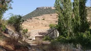
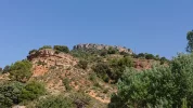
After passing through one pretty village with no facilities, you arrive after 17kms at Peligrina, with some impressive castle ruins high up on a hill. That must have created some painful backs! It was 11.15am when I arrived. There's a welcome cafe with great views as you get close to the castle but it's an uphill slog to get to it - how badly do you need that coffee? I stayed half an hour then left.
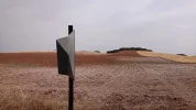
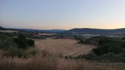
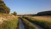
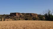
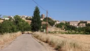
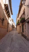
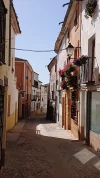
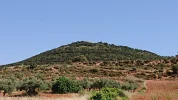
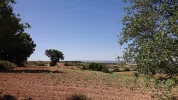
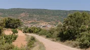
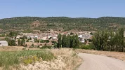
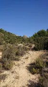
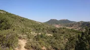
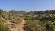
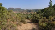
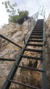
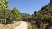
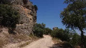
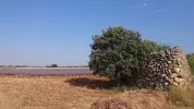
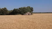
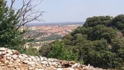
So here comes the part where I should marvel about the scenery on this stretch. The truth is that it is the most fascinating and beautiful since I started walking. But it has been described in detail by previous bloggers, so what can I possibly add... If you haven't read up on the Lana, this is a walk in a mountain gorge, with a lot of wildlife (mostly birds). Luckily it is totally flat. Then there is a short walk up a hill, followed by a trail in a thin woods (at about 1000 m altitude). Then a walk downhill to the medieval, and rather spectacular, city of Sigüenza. The best way to describe it is that it doesn't look like any of the previous stages. It is a quite surprising experience, all in all.
And from
@Magwood 's
blog:
From start to finish it was a perfect camino. [...]
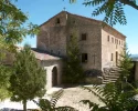
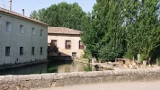
We first pass through the village of Aragosa at 4 km, very pretty stone buildings dominated by the cliffs. There is a very highly regarded casa rural here, but no facilities. [...]
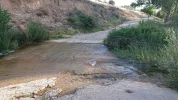
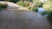
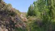
We are soon walking through a gorge with towering cliffs on either side, only a couple of hundred metres apart. There is a constant stream of vultures crossing from one side to the other, just like popping across the road to visit a friend. It is all so beautiful and dramatic with tall poplar trees lining the swollen river. We are walking with our necks bent and our eyes fixed on the sky. [...]
The next village we reach is even prettier, La Cabrera at around 12 km – again no services. [...]
The last village at 16 km, aptly named Pelegrina, does have a bar/restaurant but we have to make a diversion to reach it right at the top of the hill upon which it and its castle are perched.
@VNwalking has also found an alternative:
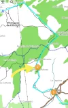
If we choose to go through Sigüenza, rather than the official route, it looks like there are a couple of ways to get there. Not wanting to jump ahead, but for now just to say that one of those ways leaves the Lana at Viana de Jadraque.
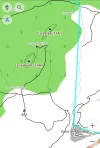
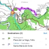
It's 10.6 km from Mandayona to Viana de Jadraque. From Viana de Jadraque, there is a 'Camino de Viana de Jadraque a Sigüenza', which looks like a country road. Looking for tracks, I came across one that shows that it is 14.3 km:
Viana de Jadraque - Sigüenza Hiking trail in Viana de Jadraque, Castilla-La Mancha (España). Download its GPS track and follow the route on a map. Record your own itinerary from the Wikiloc app, upload the trail and share it with the community.

www.wikiloc.com
There are a number of others tracks that are slightly longer (about 18 km), which seem to take a more scenic route, along the Barranco de la Hoz, and the Arroyo de la Nava:
Viana de Jadraque-Barranco de la Hoz-Arroyo de la Nava-Moratilla de Henares-Siguenza Hiking trail in Viana de Jadraque, Castilla-La Mancha (España). Download its GPS track and follow the itinerary on a map. Viana de Jadraque-Barranco de la Hoz-Moratilla de Henares-Siguenza

www.wikiloc.com
So walking via Viana de Jadraque would be between about 25 km and 29 km, depending on which path you take.
Sigüenza offers a number of lodgings. There's the
Residencia de Padres Josefinos. The comments about the Residencia range from "
clean, decent" to "
it’s not my favourite place", with a general opinion that it is basic.
@alansykes points out that in addition to staying in the dorm, one can book a
private room with ensuite.
As Sigüenza is of a reasonable size, there are many other options, including those listed in the Amigos' guide: Hotel Laberinto, and
Casa rural El Arrabal de Sigüenza. And if you really want comfort and would to indulge, there is the
Parador de Sigüenza. A quick scan through the usual online booking website shows there is quite a number of options.
In real life, the slow walkers amongst us would indeed welcome a rest day. Borrowing
@Magwood 's words once again:
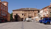
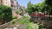
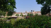
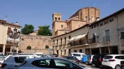
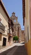
The town is very historic, with cathedral and several churches. The streets are lined with beautiful old buildings and it is thoroughly charming.
Indeed:
 www.rome2rio.com


