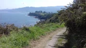
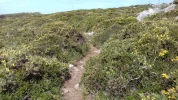
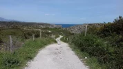
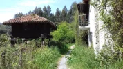
I’m hoping that
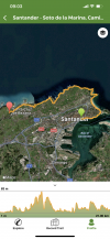
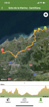
Wise Pilgrim will chime in here, because I think his app shows all these coastal alternatives so you could do the calculations.
Except for the case of the alternative around the coast north of Santander, I just did those alternatives without changing the days, if that makes any sense. That is, on the day I walked the Ruta del Flysch (on the day from Zumaia to Deba), I just incorporated the detour/alternative into my day’s walk and walked from Zumaia to Deba. Same with all of the others — the listing shows which stage I did the detours in.
Not sure this is making much sense, but I understand that some people would want to recalibrate and recalculate with the coastal alternatives, because it is true that in some cases they added a big handful of kilometers to the day.
I walked those stages at age 67, but now 5 years later I have seen a drop in my endurance despite my best efforts, so I am betting I would have to do some recalculating too if I were to do it again.
As far as finding the paths, I have given my wikiloc tracks, which connect with the Camino routes. I am not able to give you much help with GPS other than with wikiloc,which I love and have used since I first walked the Olvidado in 2014.
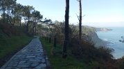
Good luck and I hope you can find the way to do at least some of these alternatives because they just made this Norte so much more beautiful with so much less asphalt!


