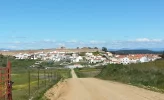
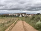
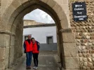
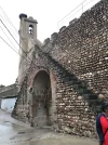
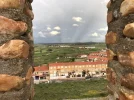
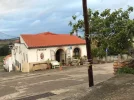
That would be the famous Torta del Casar. You can visit the museum if you wish but you'll find no shortage of shops and restaurants selling it along the main road in Casar. According to the internet, it's the best cheese in the world. And that's literally all I can tell you about Casar, because I didn't stop there:
Whoever did the signage in Caceres pulled out all the stops to make things clear to pilgrims. In addition to the usual arrows and shells, there are schematic diagrams on the approaches to junctions. They're not very pretty (yeah, I really soured on Caceres) but they do a good job of supporting the directionally-challenged pilgrim at every decision point - which in this case, means left at the bullring and along the Calle Lavanderas, with its worthy but ugly statue of washerwomen (there I go again). The little Aguas Vivas grocery store here is your last opportunity to buy groceries before you leave town. You won't need much if you're stopping in Casar. After the grocery store, the road slopes down and becomes Calle Calatayud, which takes you all the way to a big roundabout (traffic circle) ...
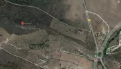
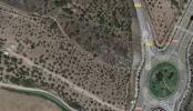
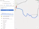
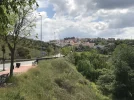
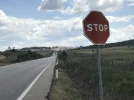
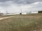
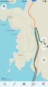
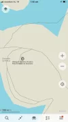
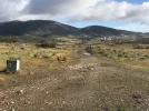
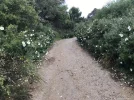
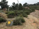
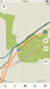
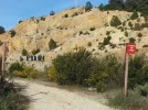
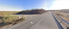
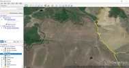
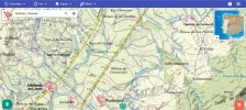
This roundabout is the point at which you will depart from the official route. It serves as a junction for the N-521, the CC-38 regional highway, and Calle Calatayud. You're going to walk around the left / west side of the roundabout and over a zebra / pedestrian crossing to cross the N-521. Ignore the arrows that direct you along the CC-38, which has a narrow shoulder, steep banks, fast-moving traffic. You need to look for a footpath before you get to the exit for the CC-38. The footpath will take you parallel to the road at first, but then turns sharp left and heads toward a viewing point "Cerro Otero"
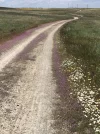
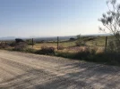
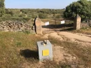
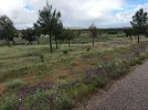
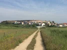
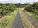
Keep following the track past the viewing point - you'll zig a right turn and then zag a left at a T-junction to get around someone's field. And a little further up you'll come to a T-junction, where you can go right and follow that path / farm road until you almost bump into the CC-38 again. From here you are back on the official camino, which goes along a farm road, parallel to the CC-38.
Effectively, you will have walked two sides of a triangle to get you past the nasty bit of CC-38. I estimate that it adds about 2-3km to your walk, but it's safer and more pleasant.
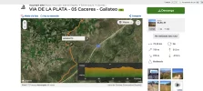
[EDIT - The route that I have described is the second one that Peregrina2000 posted tracks for - "Casar de Cáceres Plaza de toros cáceres" ]
When you get to Casar, I recommend that you call ahead to the Embalse de Alcantara albergue to verify whether they are operating. There should be someone at the albergue in the afternoon (probably not in the morning). If you can't get through to the telephone numbers in the guidebooks, make inquiries at the town hall in Casar.
If they're not operating (or you can't verify), then take down the number of a taxi company in Casar. I can't find one on Google maps, but if you ask at a local restaurant, I'm sure you'll find a local taxi. If not, there are lots of taxi firms in Caceres that will happily drive out to pick you up and bring you back to Casar for a second night, then take you back the next day. (And if that's what you need to do then it would be nice to know so you can leave your bags in Casar). I think that the stages after Casar are too good to miss, so although it seems kind of decadent to take taxis back and forth, that may be your best option in the event of an albergue closure.
There used to be a fishing lodge at Embalse de Alcantara - on the same side road as the albergue - but it's not in the guide at the moment. It is unstaffed, so you need to arrange in advance if you're staying there.
You know they told you that the VDLP is a pain in the ass because of lack of facilities and huge distances to walk and so much complication and all that. Well, for the most part, it really isn't. But if you're unlucky, this next bit can be. So be prepared.
View attachment 75080View attachment 75081View attachment 75082


