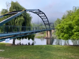
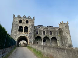
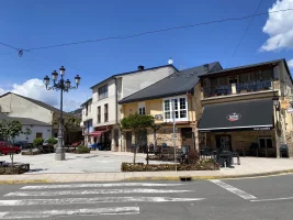
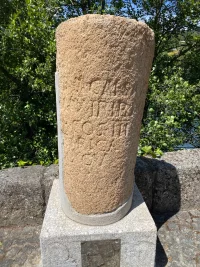
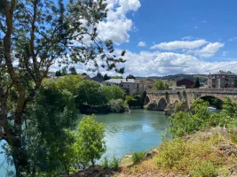
I have looked at about 12 wikiloc tracks for that stretch, all of which were recorded in the last 3 months, and all of them except for one stays on the north side of the river. The one that goes on the south side is entitled “alternativa sur.” It goes to the Pazo de Arnado but does not ascend to the waterfalls. It also stays on the south side of the river to Petín, a little town that is actually a bit to the west of A Rúa but has a Roman milario and an old bridge. That bridge takes you into what I would call “lower” A Rúa, very close to Pensión Fabio.
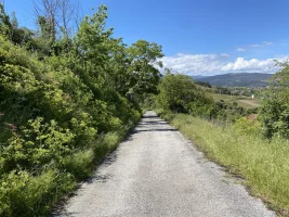
My sense is that the “official” Camino is still the one on the north side of the river, but for those who like alternatives and nicer walking, the south side would be the way to go. The options there would be
1. Stay low on the south side, as
this wikiloc trail does, continue on to Petín and cross the river into A Rúa near the Pensión Fabio. 16.4 km, hardly no elevation.
2. Stay low on the south side until the dam over the river at Valencia de Sil, where you will rejoin the north side for the final stretch into A Rúa, including the off-road option recently signed. This would have virtually no elevation and would also be a few kms shorter, because you would come into A Rúa from the east side (on the official camino) rather than the west side.
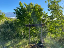
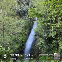
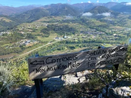
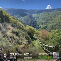
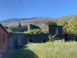
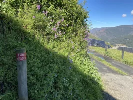
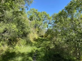
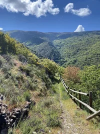
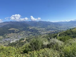
3. Take the longer alternative on the south side, past the Pazo de Arnado and then up to the fervenza (waterfalls). It is a lovely walk, with great views down to the river, and through a maze of small family vineyard plots. You will probably find people out there working who are happy to chat and describe how they provide their family with their yearly wine stash from these vines. At that point, when you get to the Village of Correxais (populated by only very nice people, it seemed to me!), you can either head down on an untraveled road to the dam at Valencia de Sil and continue on as in option 2, or do what I did and stay up high on a marked trail that winds around and eventually takes you into A Rúa over the bridge from Petín (on the south side). My
wikiloc tracks show that was 24 kms and about 600 total m elevation gain. Going straight down to Valencia de Sil from Correxais would cut serveral kms off.
I know many people like to stay on the camino and will view these alternatives as unnecessary distractions, but especially for those who have already walked the Invierno before, these alternatives may make things more enjoyable.
And a quick p.s. - For anyone who wants to stay in either the albergue in Xagoaza or Vilamartín, you have to stay on the north side, on the official camino, or you will have a lot of backtracking!


