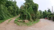
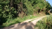
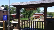
The main change I noted when walking is that the guide still lists a lot of the cafés and services that are on the national highway, even though the camino has been taken off the highway in many places. Some questions
-- I never saw Bar Valduera and Mesón Alondra in Toral de Merayo. Anyone have any firsthand knowledge? Otherwise, I will just delete the references
-- I know that the owners of CTR Cornatel will be opening a private albergue in Borrenes, but I have no info on current status.
-- Albergue La Senda will open soon in Las Médulas. Does anyone have more updates?
-- Confusion on elevation from Ponferrada to Las Médulas. I believe the ascent from Ponferrada up to the Castle of Cornatel is about 350 m. But I am unsure about elevation gain from Borrenes to Las Médulas. And to complicate things, we now have two options. One is Amancio's route from Borrenes directly to Orellán (which I believe has 475 m elevation gain); the official route has less but I am not sure about numbers. The range on wikiloc tracks is extreme, and I know that elevation measures are very unreliable. So if someone has a better guess, please let me know.
I am hoping to have the revisions done in the next couple of weeks, and will post the questions I have in sections. All help is greatly appreciated.


