GunnarW
Active Member
- Time of past OR future Camino
- 2011+ > Spain, Belgium, France
I open a new thread to check if there isn’t a fourth way to walk from the old parador till Pajares.
Please check http://www.caminodesantiago.me/community/threads/help-from-the-puerto-de-pajares-to-the-pueblo-de-pajares-on-the-salvador.19884/ to understand the history.
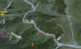
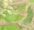
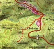
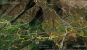
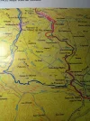
Yesterday I started editing the part between the old parador and Pajares and discovered some valuable information to prove that maybe there must be a fourth option. This option is dotted in orange on the map named "puerto-de-pajares-with-all-routes-2.jpg".
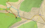
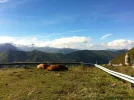
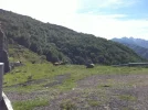
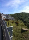
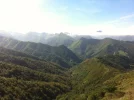
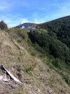
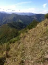
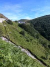
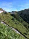
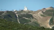
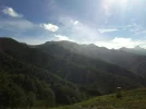
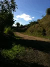
1) The shot below, I took from the balcony of the old parador. You see the tunnel of the railroad labeled "3". You see clearly a path a the right side of the railroad. Label "4" is normaly where all paths are joining. Label "p" is normally the place where I took the last picture of the parador (full zooom). I put red dots on the "dangerous" path that Stuart and Susanna tried to follow. Until now, we don't know where this path leads to, propably to point "4".
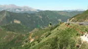
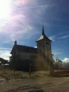
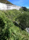
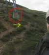
2) At label "p", I took a video of the old parador and you can see clearly a path going down labeled "2".
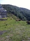
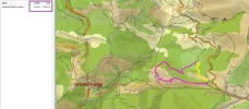
So the path that is visible on the Garmin Topo Map España v5 should exist. I think it starts below the balcony. Believing my pictures, it's possiblke that this path is more comfortable.
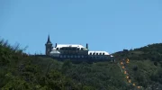
Who is the next to go there and make a report?
Please check http://www.caminodesantiago.me/community/threads/help-from-the-puerto-de-pajares-to-the-pueblo-de-pajares-on-the-salvador.19884/ to understand the history.
Yesterday I started editing the part between the old parador and Pajares and discovered some valuable information to prove that maybe there must be a fourth option. This option is dotted in orange on the map named "puerto-de-pajares-with-all-routes-2.jpg".

1) The shot below, I took from the balcony of the old parador. You see the tunnel of the railroad labeled "3". You see clearly a path a the right side of the railroad. Label "4" is normaly where all paths are joining. Label "p" is normally the place where I took the last picture of the parador (full zooom). I put red dots on the "dangerous" path that Stuart and Susanna tried to follow. Until now, we don't know where this path leads to, propably to point "4".

2) At label "p", I took a video of the old parador and you can see clearly a path going down labeled "2".
So the path that is visible on the Garmin Topo Map España v5 should exist. I think it starts below the balcony. Believing my pictures, it's possiblke that this path is more comfortable.

Who is the next to go there and make a report?
Last edited:


