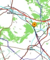
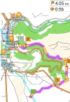
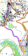
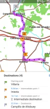
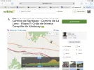
Stage 10. Campillo de Altobuey to Monteagudo de las Salinas - an alternative route. 29kms
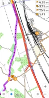
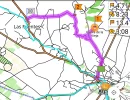
So, I started at Bar Zona Cero by the Ayuntamiento on Plaza Nueva and had a couple of slow coffees, and checked where I would go first. You come out the bar, turn left for a few hundred meters down to the junction, and instead of following the yellow arrow and road sign to Paracuellos straight ahead, you turn left and follow the quiet road uphill signposted 'Cuenca 65km'.
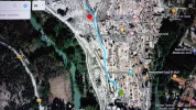
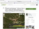
The first 3.5 kilometers were a steady uphill with a strong headwind, to the wind turbines near the main road. There was then a one kilometer hike along the busy main road towards Cuenca, and when you get to a house on the left and a track on the left, you cross the road (assuming you are walking against the traffic) and take the track off to the right. This is clearly marked on Google Maps, but not on maps.me for some reason.
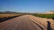
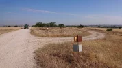
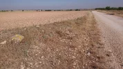
After a few hundred meters, there is a crossroads of dirt tracks. You go left here not straight on, so the main road is always on your left and often within earshot as you walk. This really was the only place you could have gone wrong on this route for the next 8kms! The well-defined dirt track is now easy to follow, clearly used by some vehicles and clearly with some forestry maintenance going on. It is very straight and easy to see for kilometers stretching into the distance. I didn't see any 'private land' or 'No entry' signs anywhere. You are walking through unkempt scrubland for the next hour or so, with lots of bushes, small stunted trees and heather.
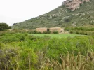
After 3.5kms from the main road, you cross a track labelled Camino de Paracuellos on Google Maps. From here, the scrubland turns into classic pine forest. Resin is being collected from many trees and there are lots of deer tracks. There are also plenty of beautiful open areas and areas which are being farmed in amongst the trees.
About a kilometer on from the Camino de Paracuellos junction, you come across the fabulous four trunked pine tree, 'Los Cuatro Hermandos Arbol Singular', clearly some kind of tourist attraction as there is an information board next to it. It's very impressive and worth a look and a few photos. I stopped here for a long rest, a snack and to soak up this lovely large open sunny area, using the four trunked tree to keep out of what is now a biting wind.
After about 7.5kms from when you first left the big main road, you emerge from the forest and follow the track next to it again to the road. You then have a 4km road hike to the pretty large village of Almodovar del Pinar, against a vicious headwind. I arrived there 17.5kms after starting today's walk, which took 4.5 hours, including probably half an hour or more of rest breaks. After a salad, wine and coffee break lasting an hour, and asking some locals about a possible cross country rout to my destination 11kms away, I set off again. However, it is quite possible to stay here as I saw a couple of places.
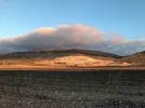
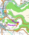
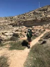
There are all kinds of options now. I decided to road hike it 5km on the Cuenca main road against the fun headwind, then turn right down the CM 2123 another 5kms to the destination. After 3kms on this route, you get to a plateau with fabulous views for miles and miles, and to distant mountains. Although the main road out of Almodovar del Pinar was busy, most vehicles moved out to be as far from you as possible so no great problem. Obviously, you should generally walk on the left, against the traffic wherever possible. The CM 2123 was very quiet and no problem walking along. I was mighty tempted to set off along one of the tracks from Almodovar. One of them swings round to near the CM 2123 junction. Another cuts right across the country to near to Monteagudo. If the weather had been better and I was sure of a possible route, across country, that would be the one to go for. As it was, I took the easy but unexciting route.
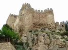
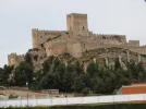
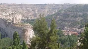
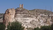
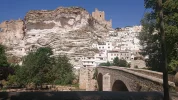
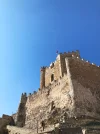
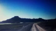
As you pass through a gorge and see the castle in Monteagudo de las Salinas for the first time along with the valley below, there is a road to the left. It takes you into the village.


