- Time of past OR future Camino
- VdlP(2012) Madrid(2014)Frances(2015) VdlP(2016)
VdlP(2017)Madrid/Sanabres/Frances reverse(2018)
I have come across this site which gives you immediate access to all the large scale (1:50000) geological survey maps of Spain, the standard maps published by national geological surveys all over the world. There are over 1100 separate sheets!
When you open the portal, scrolling down one screen gives you an interactive key map, and scrolling further gives you a complete list.
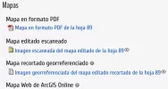
When you select a map, several versions are offered. I recommend the one called “Maps editado escaniado” - scanned.
The map comes up in great detail, and is much bigger than your screen, so you navigate around. My mouse, on Mac, offers me a “+”cursor, which is not useful because it seems to zoom in to a ridiculous extent, and the result is not helpful.
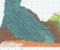
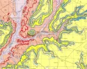
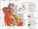
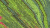
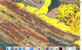
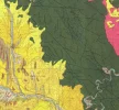
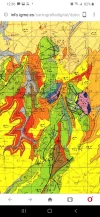
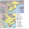
Here's an example I just looked at, inspired by VN's photos of tha Vasco on another thread.
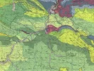
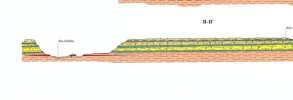
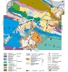
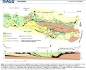
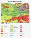
Navigating to the right hand side reveals a regional key map, with towns and cities marked, so you can more easily see where you are. At the bottom are the very revealing geological sections.
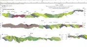
Be warned. These are addictive!
MapasIGME - Portal de cartografía del IGME: MAGNA 50 - Mapa Geológico de España a escala 1:50.000 (2ª Serie)
El Mapa Geológico Nacional (MAGNA), realizado entre 1972 y 2003 por el Instituto Geológico y Minero de España se distribuye en hojas 1:50.000 (1:25.000 en los casos particulares de Canarias, Ibiza-Formentera, Menorca, Ceuta y Melilla). En el Mapa Geológico se representa la naturaleza de los...
info.igme.es
When you open the portal, scrolling down one screen gives you an interactive key map, and scrolling further gives you a complete list.
When you select a map, several versions are offered. I recommend the one called “Maps editado escaniado” - scanned.

The map comes up in great detail, and is much bigger than your screen, so you navigate around. My mouse, on Mac, offers me a “+”cursor, which is not useful because it seems to zoom in to a ridiculous extent, and the result is not helpful.
Here's an example I just looked at, inspired by VN's photos of tha Vasco on another thread.

Navigating to the right hand side reveals a regional key map, with towns and cities marked, so you can more easily see where you are. At the bottom are the very revealing geological sections.


Be warned. These are addictive!
Last edited:


