After several km walking on paths and unpaved roads after Penasillás, the Camino merges with a paved road. If you plan to go up to the Alto and its ermita, look for stone steps on the left. These steps take you off the Camino and ascend on the grass past the crosses representing the Stations of the Cross. In a few minutes, you will be at the high point, a huge field with its ermita, lookout tower, and cruceiro. One pilgrim in 2017 enjoyed going to the lookout tower for a nice conversation with the fire ranger there.
To rejoin the Camino, you have two options. One would be to backtrack down the stairs and rejoin the Camino at the exact spot that you left it. Another is to go to the cruceiro (decorated standing crucifix, located within sight of the ermita). From the cruceiro, you descend a hill and turn right at the bottom. This takes you past an overgrown picnic area, which is on the Camino.
If you do not wish to ascend to the Ermita on the Monte Faro, simply continue straight at the turnoff with the Stations of the Cross. You will pass the picnic area on your right. Shortly thereafter, you come to a T-junction, and a waymarker takes you to the right, so you are essentially hugging the picnic area on your right. If you have taken the descent from Monte Faro that leaves from the crucifix, you will rejoin the Camino at this T-junction, continuing straight to rejoin the Camino just before the picnic area.
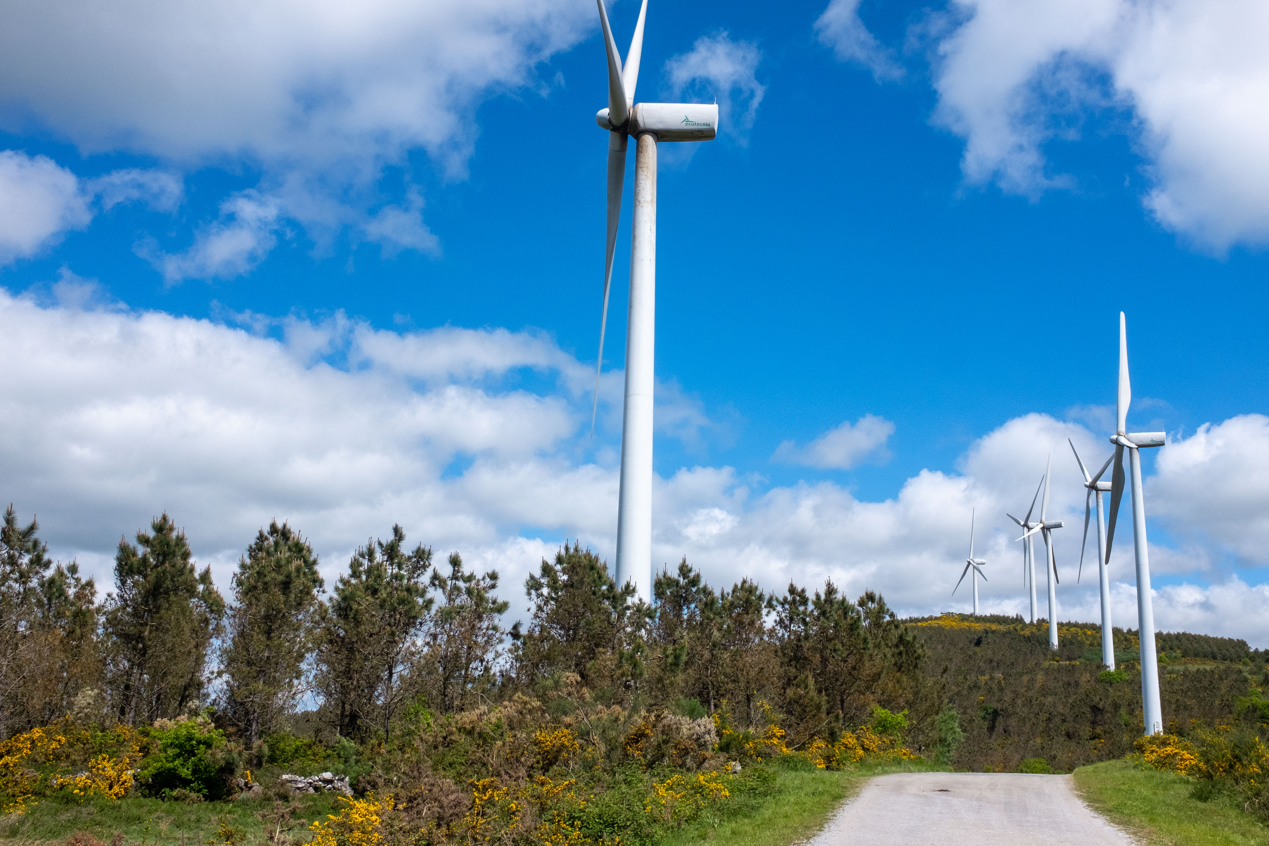
The marked Camino leaves the tarmac to the right beyond the picnic area, and parallels windmills on a limestone access road with lovely views back to Chantada. At this point, you will see a beaten up old street marker, pointing to Rodeiro to the left. There is a clear yellow X (indicating that you should NOT go this way). Even if you are interested in the “road option” to Rodeiro, this is not the most direct route. You should wait till a later point, when the Camino crosses the PO-533, which is the direct road option to Rodeiro. Several pilgrims followed this first road sign to “Rodeiro” and learned that it is the “back road route” and weaves around, crossing with lots of unmarked roads. They got lost many times.
After a few km walking through the other-worldly windmill farm with its constant flap flap flap and motor rumblings, the path meets pavement again. At this point the Camino turns left, and crosses a bridge over the PO-533, which is the highway from Lalín to Chantada. Here you pick up yellow arrows again. Going left will take you along the highway, going right is the official camino route through farmland and hamlets. This is the spot for those who wish to save a few km and go directly to Rodeiro on the side of the road. It is not pretty, but not at all dangerous, since you can walk along an access road the whole way. I have not taken this route, but on the map it looks like a straight shot into Rodeiro.
6.0 km Crossing of the CG-2.1 and PO-533.
If you stay on the Camino, granite waymarkers will take the Camino off to your left. One is the standard mojón with the tile scallop shell. The other is larger, placed there by the “Concello de Rodeiro” and indicates that you are on the Camiño de Inverno. This pretty path passes El Pazo de Camba. That old estate is usually closed, but two 2016 pilgrims happened upon it during preparation for a baptism in the small church, the 1st in 25 years. They were treated to a visit. After walking by the estate, the Camino passes through a field and out to the LU-P-1809. Arrows then take you off the road before the contiguous hamlets of A Feira ( as a bar that serves a good menu del día, O Recanto) and Leboro, but if you remain on the road, you will come to the Mesón Lamazares. (And continuing on, the LU-P-1809 will take you into Rodeiro).


