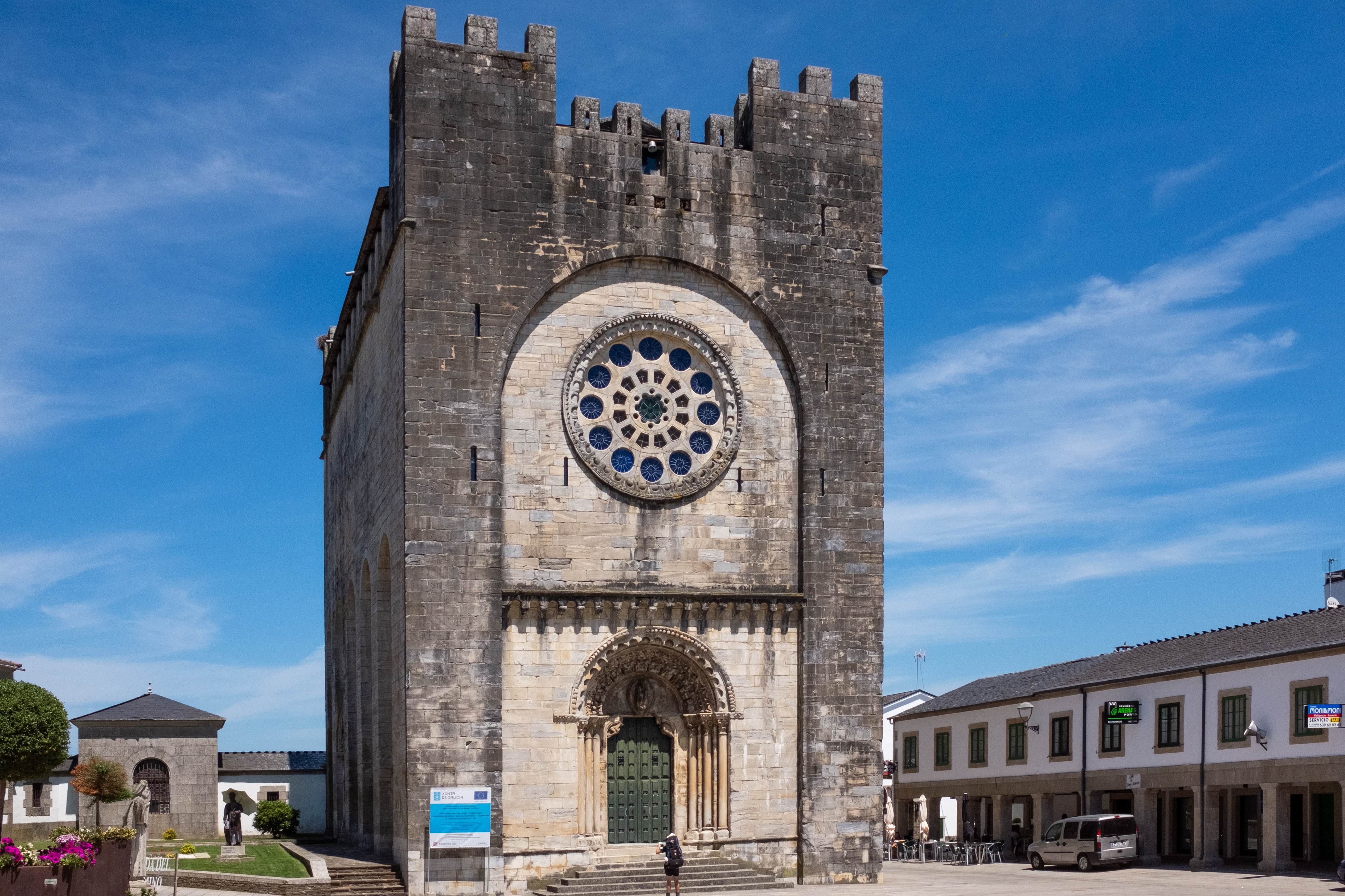
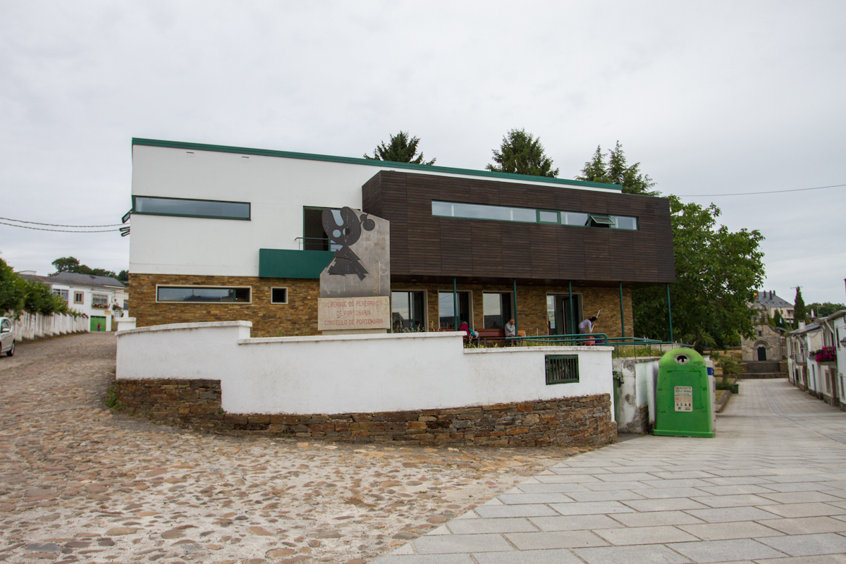
Portomarín holds the distinction of being the newest oldest town along the camino. The Portomarín we see today is a transplanted version of the original town that originally settled in the valley below. Most of the town is new construction, but the church and a few smaller buildings were relocated stone by stone. Close inspection of the Iglesia de San Juan shows that the stones were numbered to avoid head scratching later.
The río Miño was dammed in 1956, forming the Embalse de Belasar which sits beneath the bridge. The water level varies by season, and when it is at its lowest it is possible to walk among the piles of stone that were once the original town.
The Iglesia of San Juan (also known as the Iglesia of San Nicolás) is an imposing fortress in the center of town. It is the largest single-nave Romanesque church in Galicia. The Ayuntamiento building in the main square was once the Casa del Conde from the 16th century. The Iglesia de Santa María (also known as La Virgen de las Nieves) is the chapel that you passed under at the top of the stairs going into town; the local people believe that it will protect them from drowning.
Notice: Be aware of high-speed traffic as you are required to cross back and forth across the main road.
History: Portomarín gets its name from ‘porto’ or river crossing, and ‘marín’, a reference to the Sanctuary of St. Marina that was located here in the Middle Ages. It enjoyed its peak of prosperity in the 15th and 16th centuries when several of the Catholic Monarchs slept here. The nearby capital of Lugo, also a Roman settlement, grew at a greater pace and Portomarín was quickly forgotten. As recently as 1919 the town was still not connected by a single road that could accommodate wheeled traffic. That has changed, and the prosperity of the town can now be attributed to the reservoir and the camino.
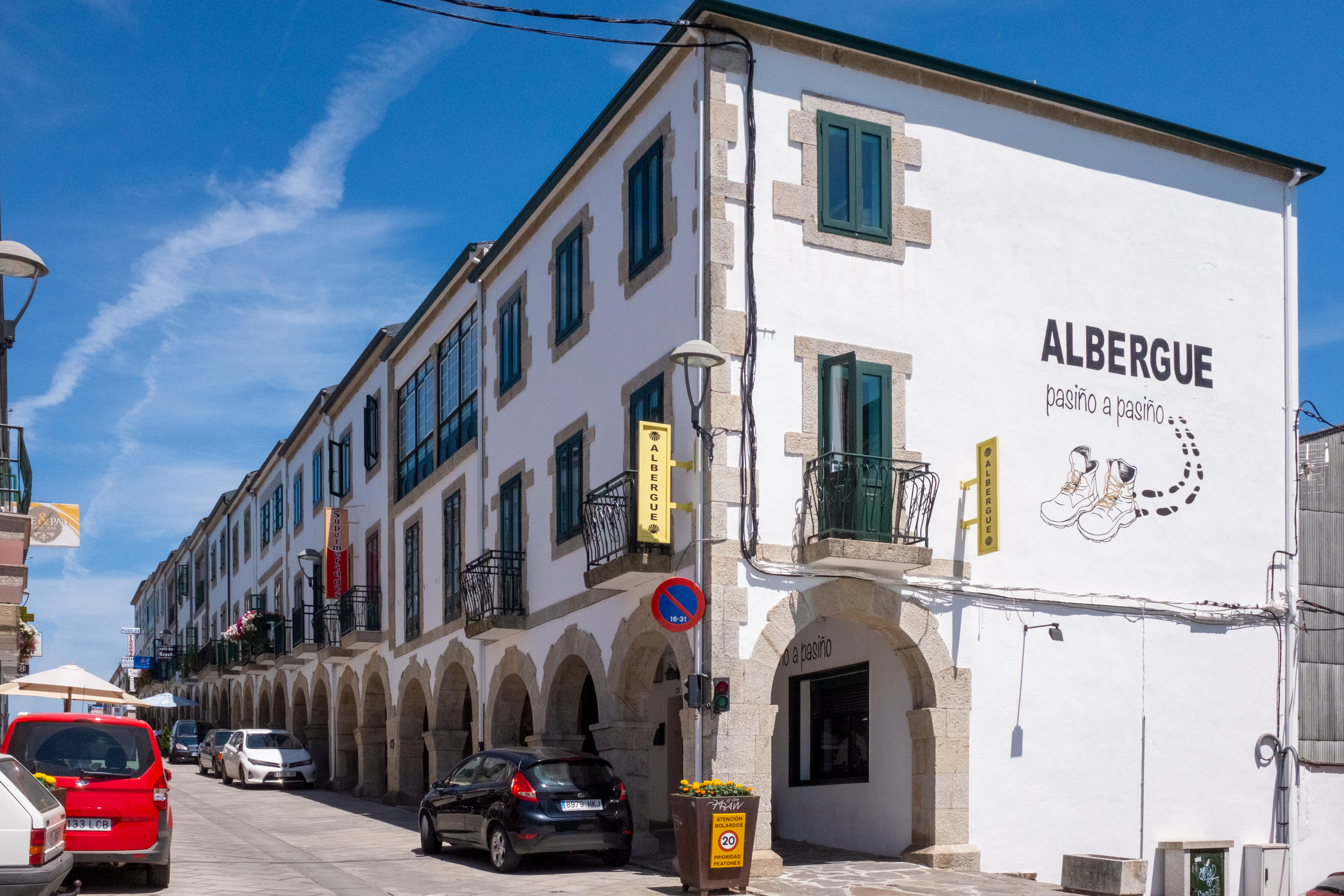
The Road: From the square simply head downhill along the colonnaded street and stick to it until you arrive at the main road. DO NOT keep going straight. Rather turn left and head back in the direction of the bridge into town. Before you get there arrows will direct you onto a different bridge over a small river that feeds the reservoir.
At the end of the bridge are two options: TURN RIGHT.
From here it is a steadily uphill march all the way to Gonzar, passing Toxibo with its hórreo along the way. After passing through a stretch of forest the camino returns to the main road and parallels it on a gravel track. This track crosses back and forth over the main road on several occasions. Be mindful of traffic here, particularly during the morning hours when the area can be thick with fog.

